Drone Inspections

Drone Inspection Services in Western Australia & Nationwide

Drone Connection provides professional drone inspections across Western Australia, throughout Australia and offshore. We support asset owners in mining, energy, government and commercial property with detailed aerial data for condition assessment, maintenance planning and engineering review.

High-resolution imaging and structured inspection records help identify visible deterioration, assess difficult-to-access infrastructure and reduce personnel exposure to work at height.
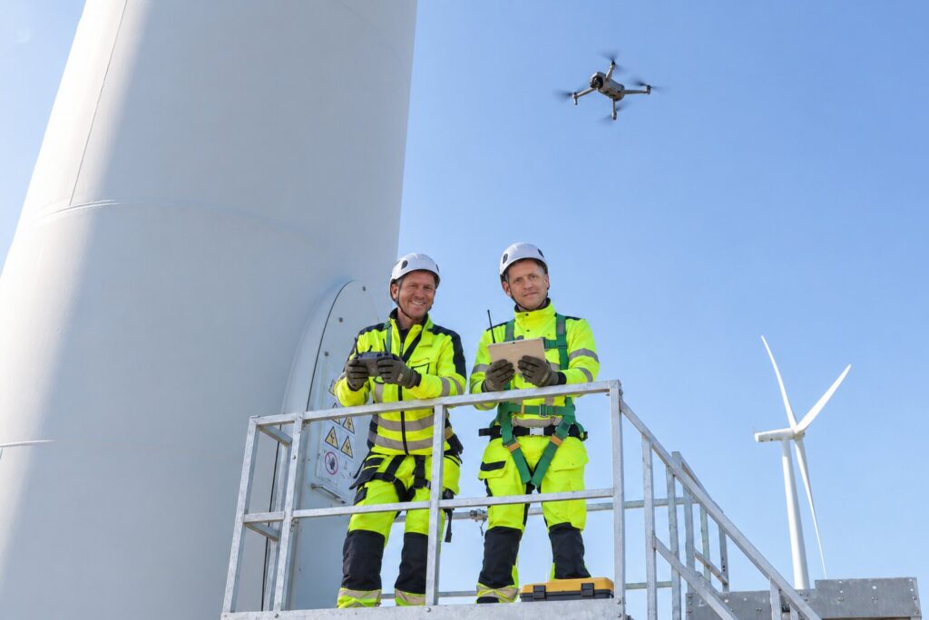
Inspection Technology & Reporting

Technology and deliverables are selected to suit the asset and inspection objectives.Deliverables may include annotated photographs, asset location references, thermal imagery and 3D models. Clear inspection records support engineering review, targeted follow-up testing and ongoing condition monitoring.

High-Resolution RGB Imaging

Detailed colour photographs for visual condition assessment.

Radiometric Thermal Imaging, Where Specified

Temperature data to support investigation of thermal anomalies.

Photogrammetry & 3D Modelling

Spatial context for complex structures, inspection locations and access planning.

RTK-Enabled Positioning, Where Applicable

Improved georeferencing for mapping and model outputs.

A Straightforward Process

01

Understand

We discuss your specific challenge, crop type, terrain, and desired outcomes.

02

Plan

Our team maps the area, assesses risks, and plans the optimal flight and spray parameters.

03

Deliver

Licensed pilots execute the mission efficiently, precisely, and safely on-site.

04

Support

Post-operation reporting and ongoing consultation to ensure treatment success.