Practical aerial mapping, spraying and monitoring solutions that help Western Australian farmers improve productivity, reduce waste and make better decisions throughout the growing season.

Practical aerial mapping, spraying and monitoring solutions that help Western Australian farmers improve productivity, reduce waste and make better decisions throughout the growing season.
Higher input costs. Unpredictable conditions. Tighter margins. Pressure to do more with less. Success depends on making better decisions earlier and responding quickly when conditions change.
We deploy enterprise-grade drone technology to capture actionable data, allowing you to focus on operations rather than technology.
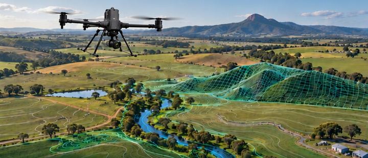
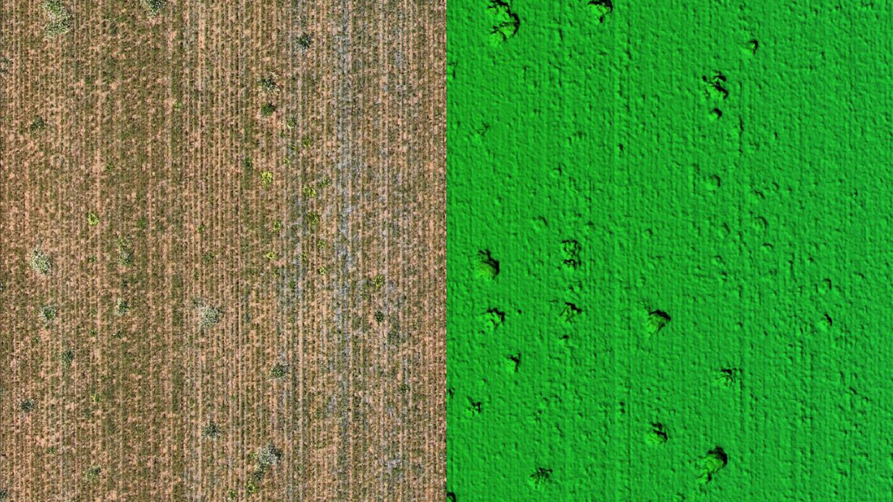
Detailed 2D and 3D field models for elevation, drainage, and infrastructure planning.
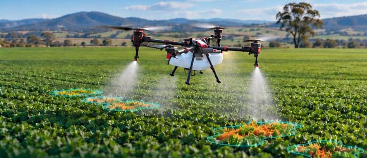
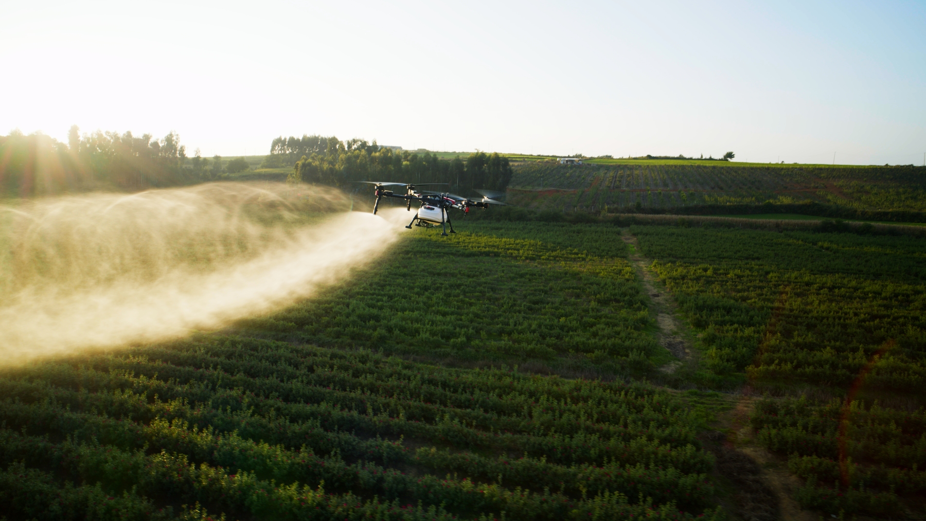
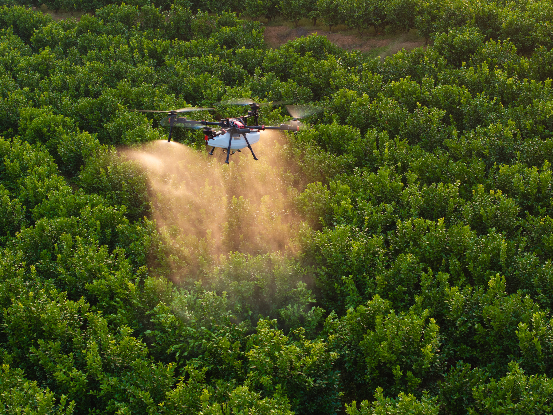
Pinpoint application of fertilisers and herbicides to specific problem areas.
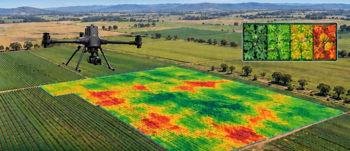
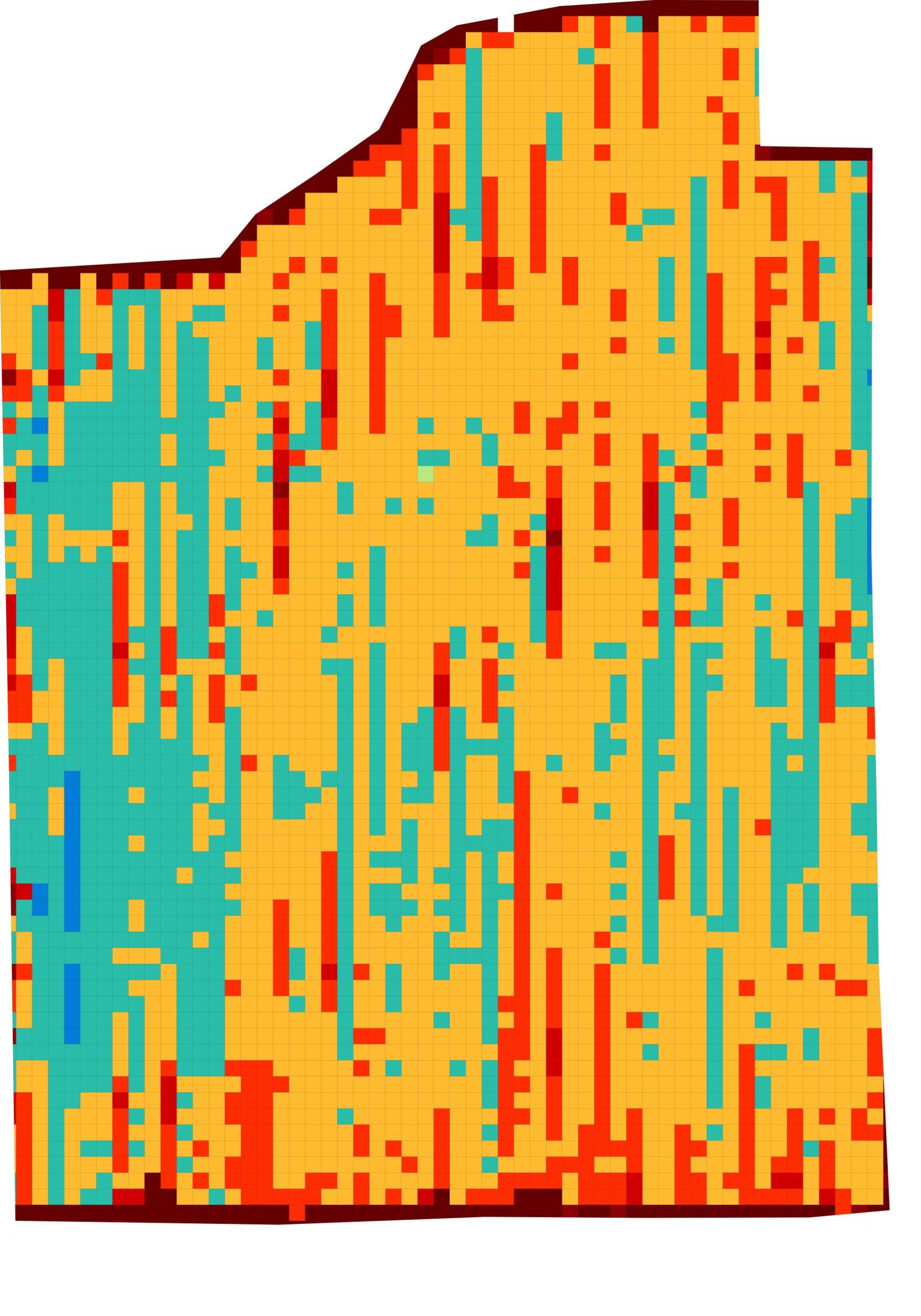
Multispectral analysis to assess plant health, stress levels, and biomass.
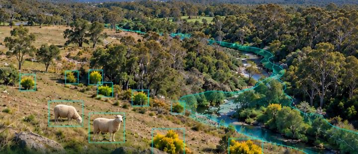
Weed detection, feral animal spotting, and environmental compliance tracking.
We operate to the highest standards of safety and compliance, holding all necessary CASA certifications to operate heavy-lift and specialized drones across complex environments.






Drone Connection was established with a singular focus: to bridge the gap between high-end aerial technology and the day-to-day realities of farming in Western Australia. We recognized that while data is abundant, clear, actionable insights are rare.
We partner with agronomists, station managers, and family-owned farms to deliver services that fit naturally into the agricultural calendar. We aren’t just flying drones; we are providing a new vantage point to secure the future of your operation.